Services and Activities
- Geological and Geo-engineering studies: introducing the necessary geotechnical indicators for imaging and recognition of the subsurface foundation soil as well as its nature corresponding to the shallow and deep concrete buildings in the new urban cities, coastal cities, industrial cities, tourist villages, and governmental entities and private sectors.
- Geological and Geophysical Desktop Studies: Comprehensive study that is carried out purely through regional and local experience research rather than physical investigations. As a preliminary study is carried out before more detailed field investigations are carried out.
- Environmental Studies and Geological Hazards: evaluation of the geological hazards and their effects on earth’s structures by mapping water seepages (potable water, water-sanitation, and industrial drainage water), detection of various types and sources of Earth’s pollution. Delineation of fault zones, the subsurface caverns, swelling clay lenses and the landslides of the property soil at the new urban cities, coastal cities, industrial cities, tourist villages, tunnels, main roads and governmental entities and private sectors.
- Wind-Farm Geotechnical Evaluation: Onshore/Offshore Geophysical Surveys including electrical resistivity, seismic refraction, ground penetrating radar, as well as all associated geoengineering and design services.
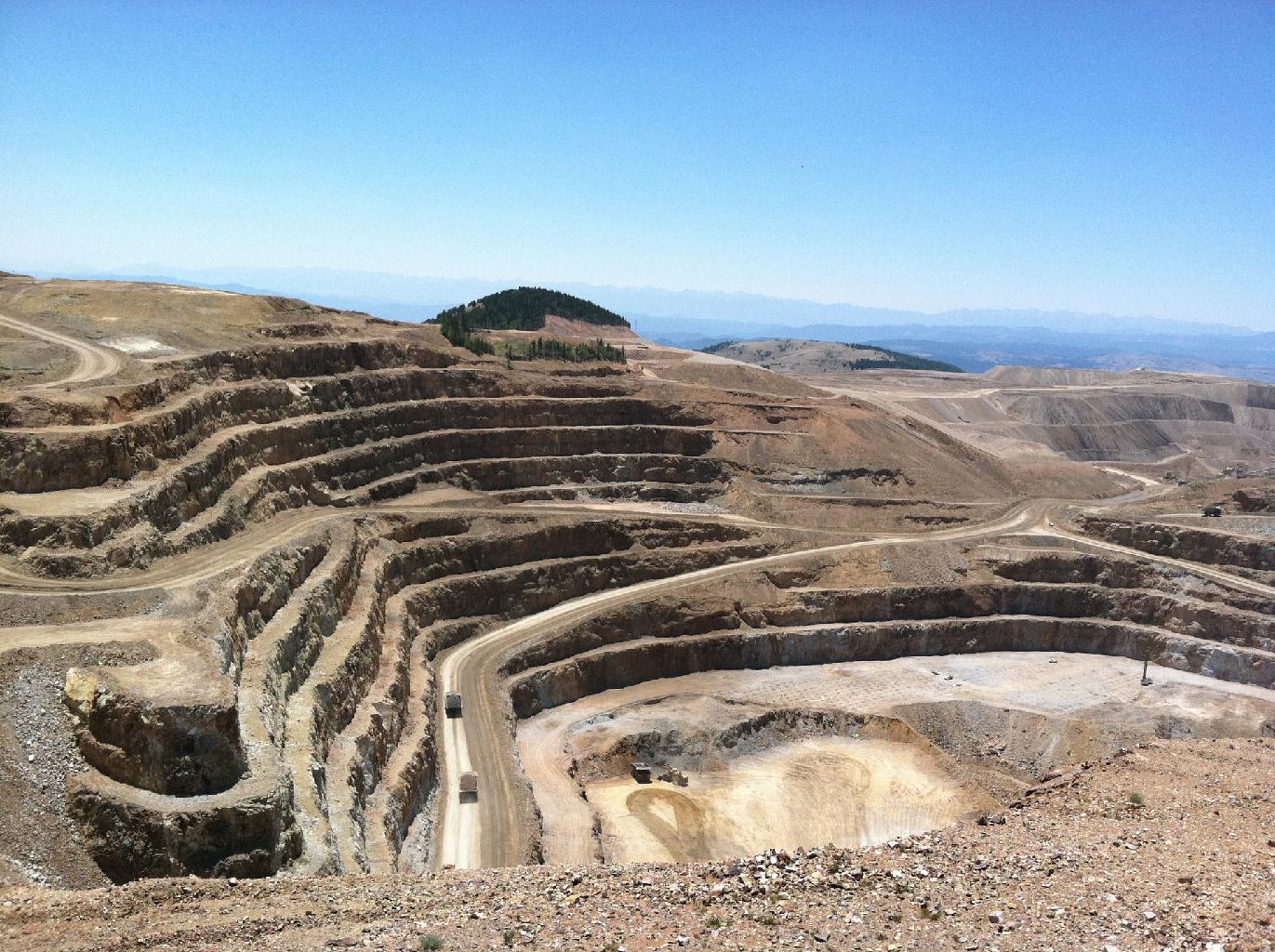
- Exploration and Prospecting Studies: quarry and mining ores (metallic or non-metallic minerals) and its economic evaluations.
- Hydrological Prospecting and Exploration Studies: of fixed shallow and deep groundwater aquifers for the purpose of water-wells drilling and water pumping in the new agricultural and desert areas as well as testing agricultural regions. The determination of the water table level and the water-well sites. Following up the drilling process.
- Natural Earthquakes Hazards Studies: with the related recommendations reports for avoiding any future property damages in urban areas as well as risk assessment studies for coastal cities, industrial cities, tourist villages, and governmental entities and private sectors.
- Natural Flash Flooding Hazards Assessment: delineating the main and sub- basins, and flooding streams paths. In addition, the establishment of the recommendation reports for protection the properties from the destructive impacts of natural floods in coastal cities, industrial cities, tourist villages, and governmental entities and private sectors.
- Mapping and Imaging the Underground Infrastructures and Utilities: including the pipelines, potable water lines, sanitation lines, industrial drainage, natural gas lines, electric cables, telephone cables and optical fibers inside the properties or in the streets of coastal cities, industrial cities, tourist villages, and governmental entities and private sectors.
- Full Chemical Analysis: for water and soil/rock samples.


